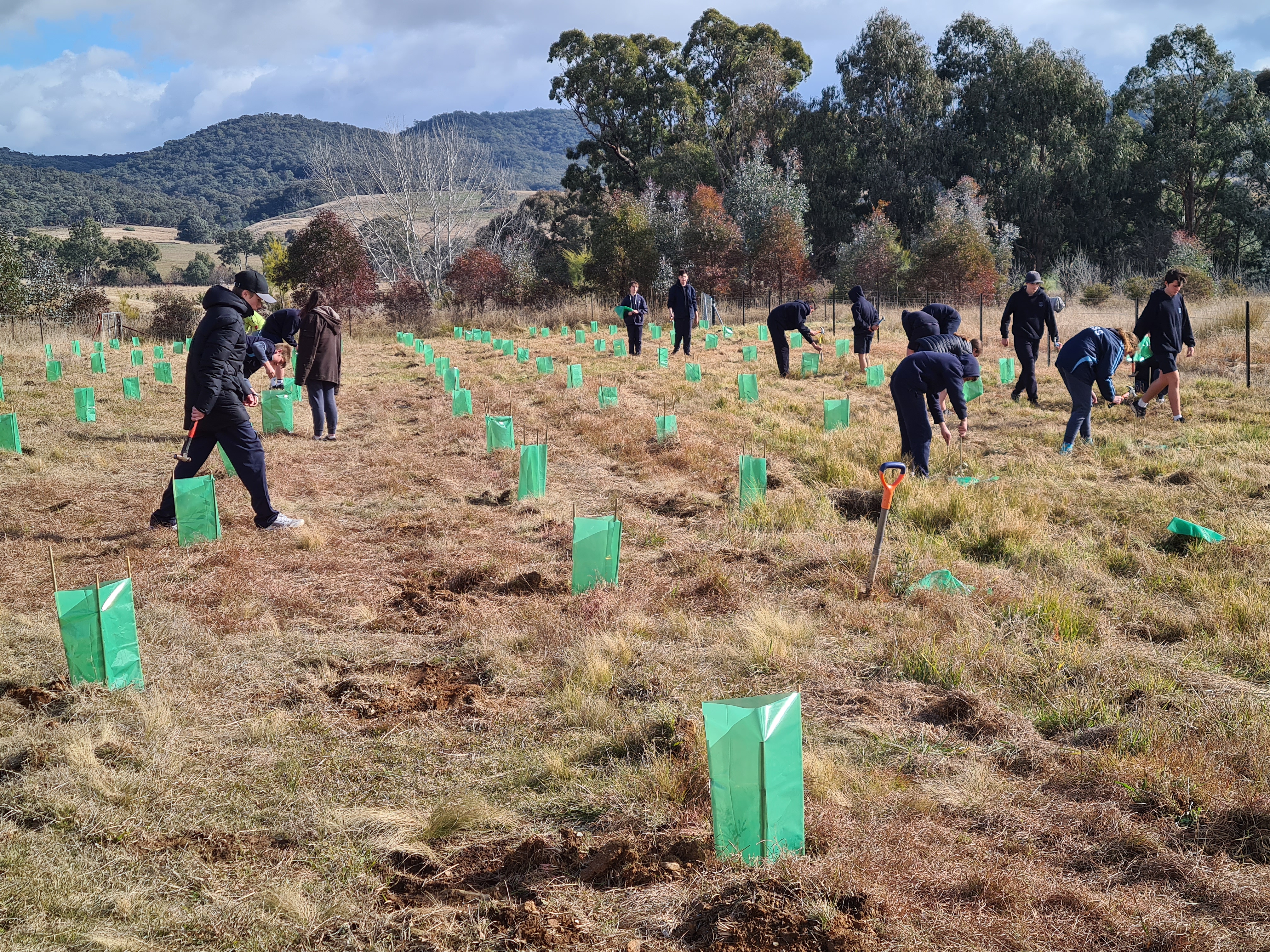
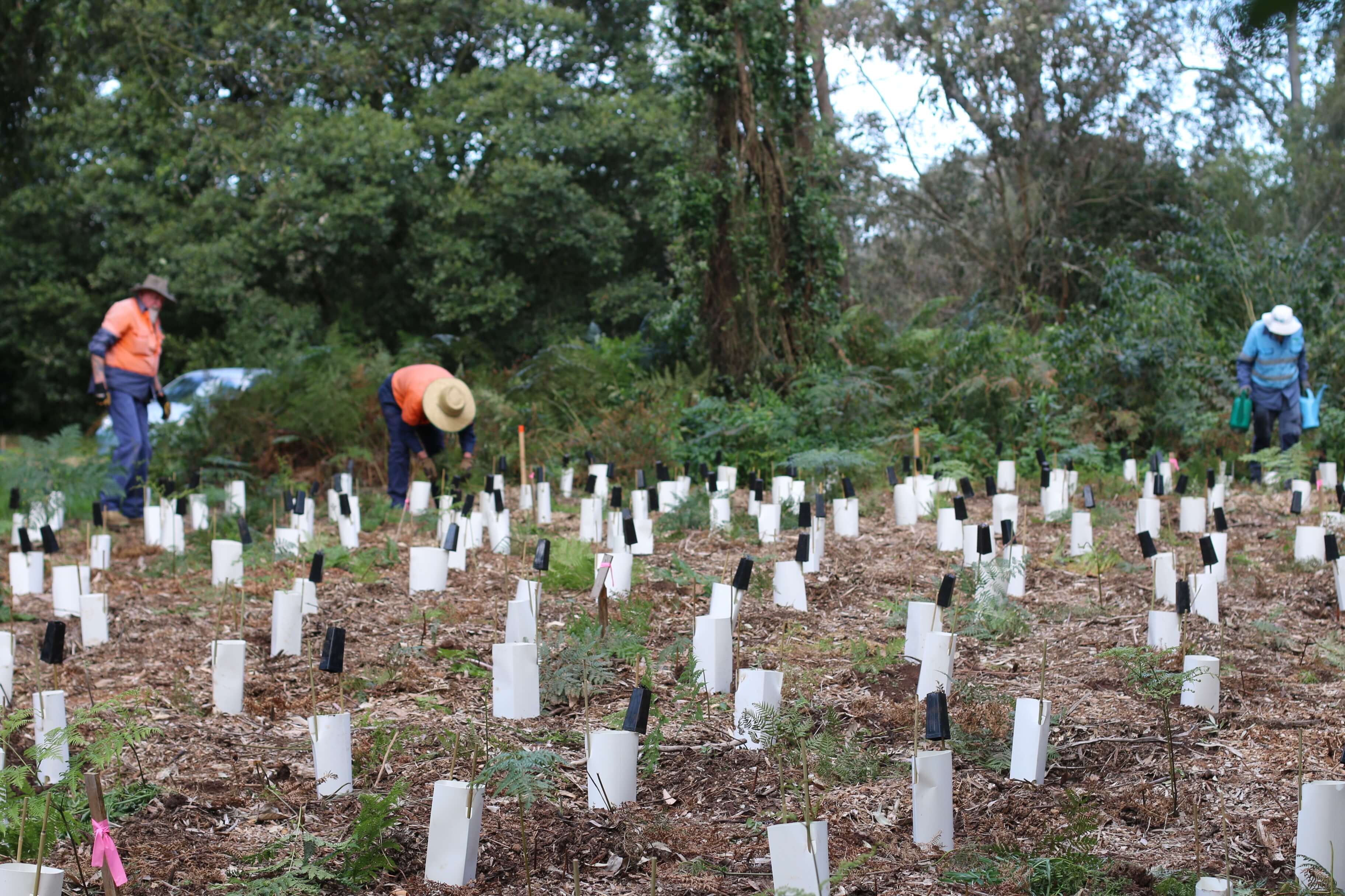
Climate-ready: Planting seeds of resilience in Yass Valley
The Yass Area Network of Landcare Groups is is using the Restore and Renew webtool to guide seed selection for their Climate Ready Revegetation Project.
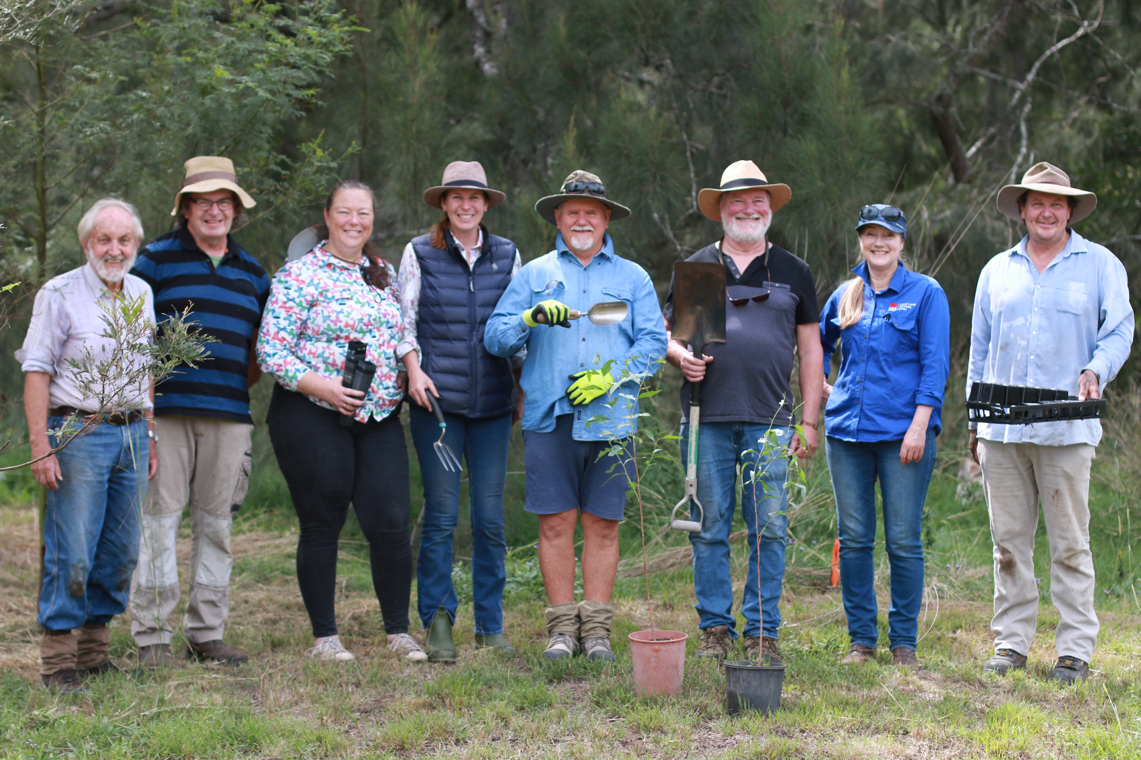
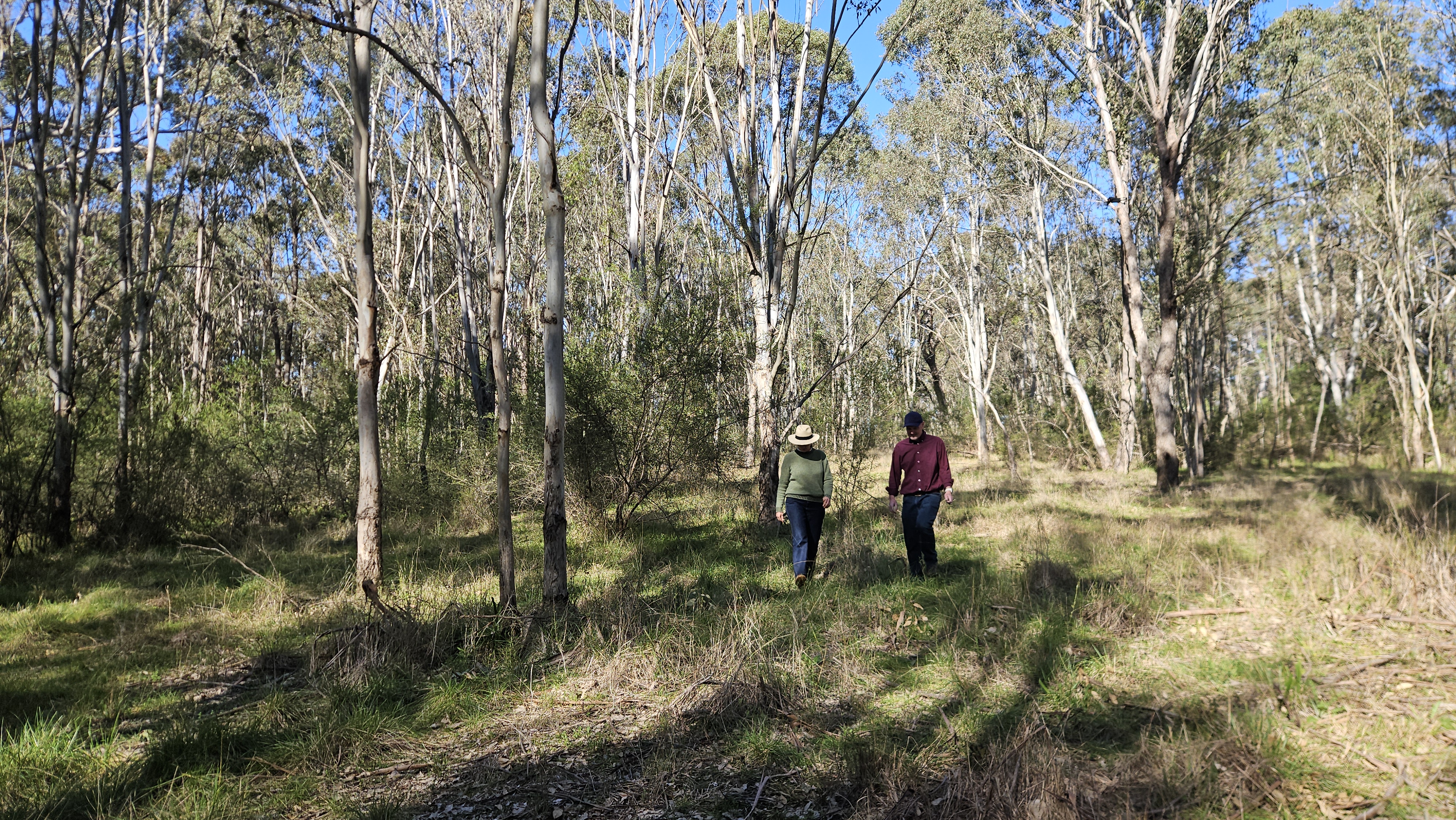
Growing stronger: How new science is restoring the River Red Gum
The Restore and Renew webtool provides simple, science-backed guidance to improve restoration projects across New South Wales. In the Hunter Valley, it is helping to rebuild climate-ready, genetically diverse populations of the River Red Gum.
Restore and Renew webtool guidance and resources
Guidance and resources page for the Restore and Renew tool. Watch a webtool walk-though, improve your understanding of the relevance of genetic diversity to restoration success or dive deep into the science behind Restore and Renew.
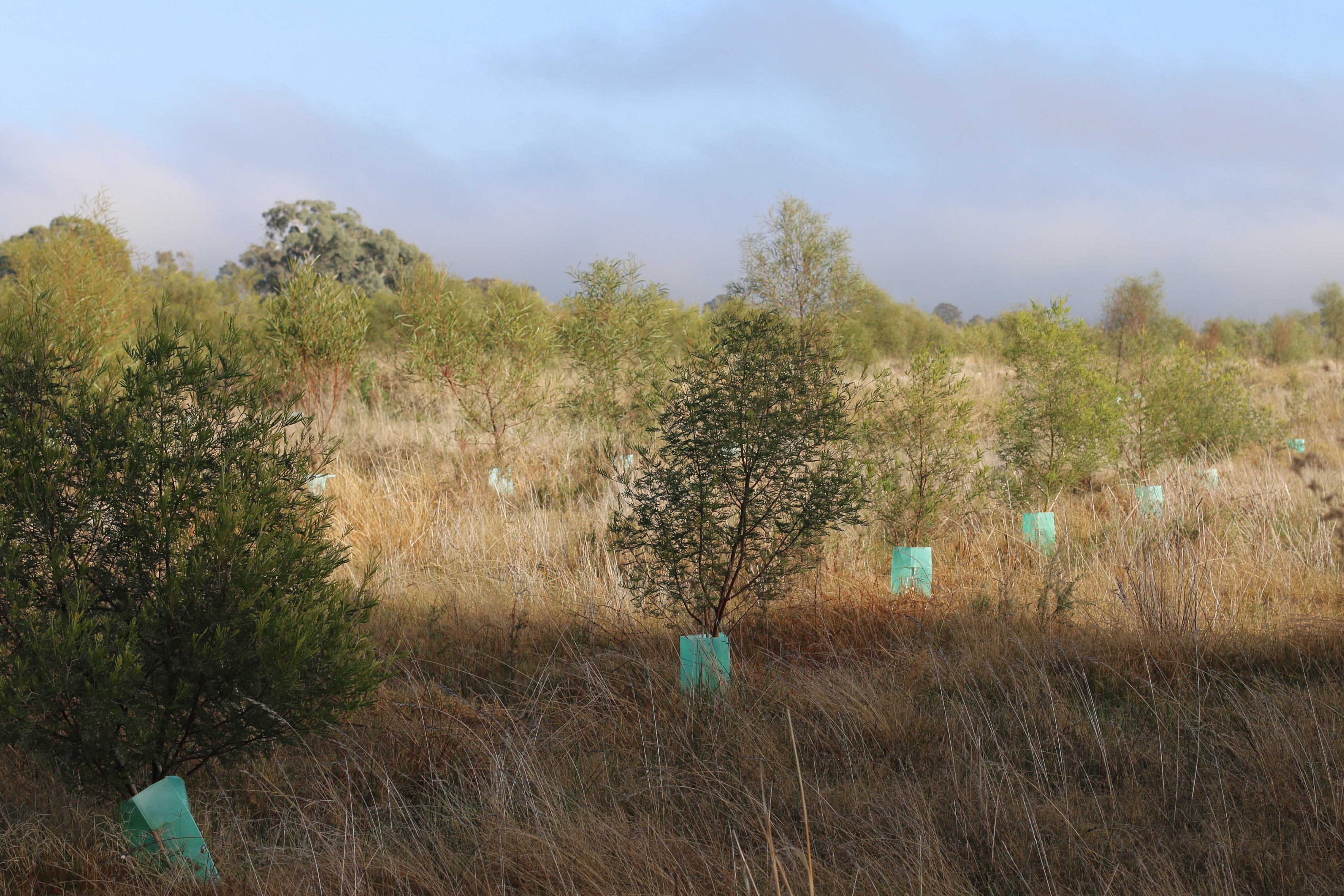
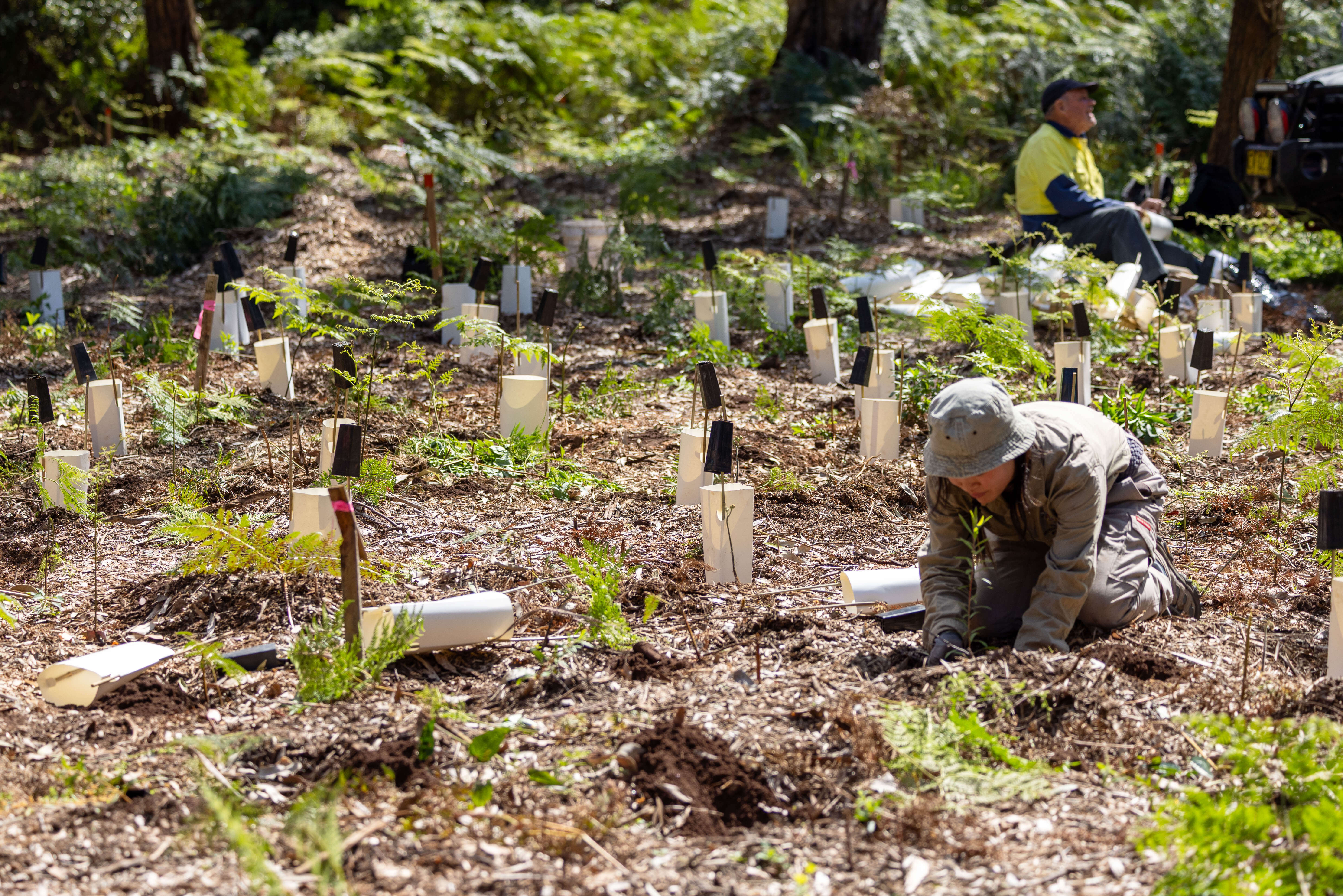
Resilient trees, resilient woodlands: Box Gum Woodland Knowledge Infrastructure
Landing page for the Box Gum Woodland tree Knowledge Infrastructure intensive. Provides advice on how to source genetically diverse climate-ready seed for eleven dominant and widespread woodland eucalypt species, suitable for use in restoration of Box-Gum Grassy Woodland in the Northern Tablelands of New South Wales.
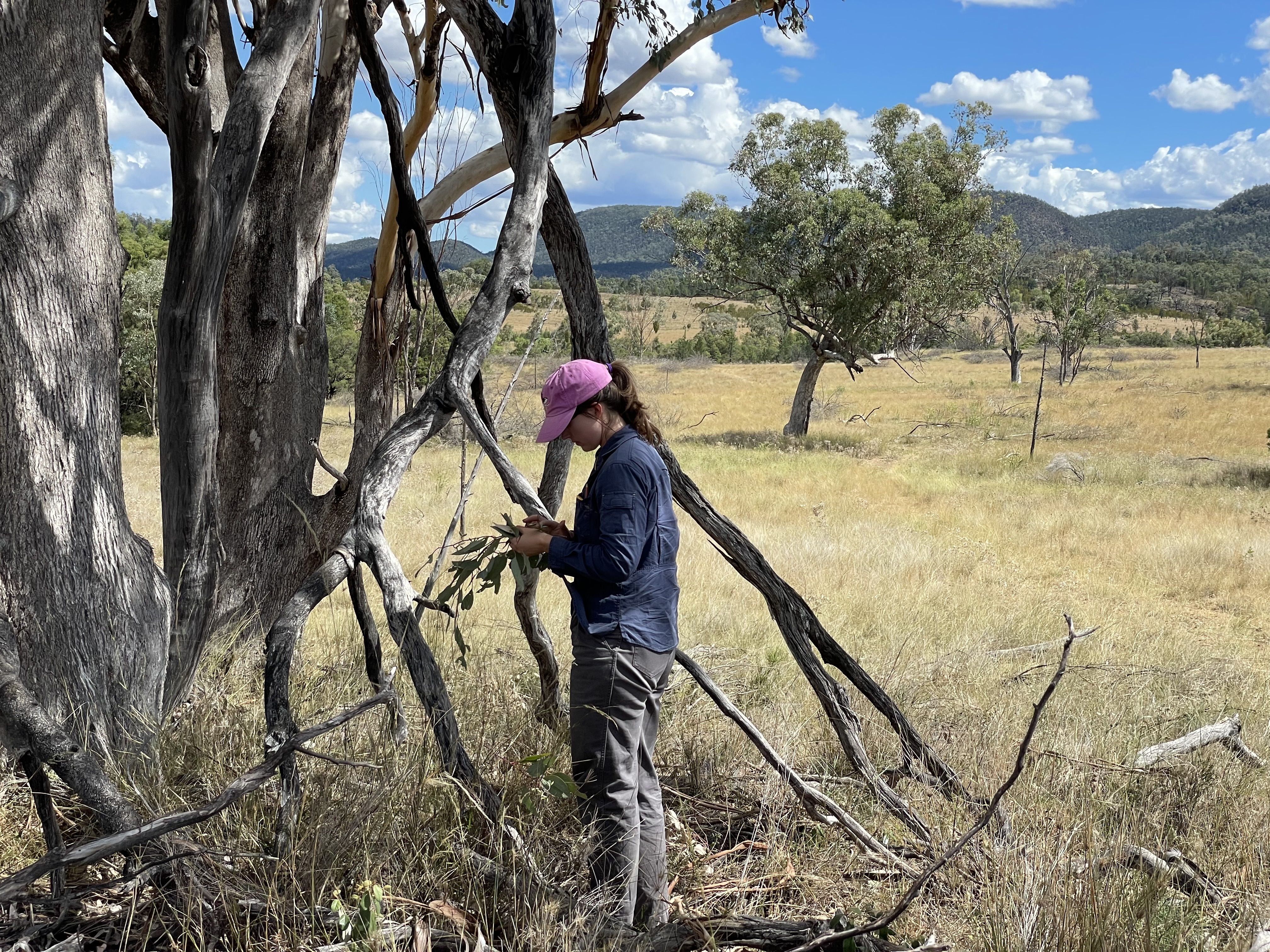
Cumberland Plain knowledge infrastructure
These guidelines provide advice on how to source genetically diverse climate-ready seed for 15 common woodland species that are suitable for restoration projects located on the Cumberland Plain, NSW. The report includes a case study establishing a seed production area to illustrate how practical concerns can be addressed in the implementation of the guidelines.
Restore and Renew webtool FAQs and glossary
Frequently asked questions and glossary for the Restore and Renew webtool.
Tracing the past, shaping the future
A community-led exhibition in Lismore challenged human-centred worldviews and revealed how Indigenous Knowledges can guide climate adaptation in profoundly different and powerful ways.

Climate-adapted coastal management
Learn to integrate climate adaptation into coastal management to help build the resilience of NSW coastal ecosystems.

Climate Data Portal
Landing page for the NSW Climate Data Portal web content, aimed at users of all levels of data maturity. The only access point to the Portal application. Explains what the Portal can be used for and who it should be used by.