About this case study
Flood, extreme weather
Local government, communities, business
Emergency management, community engagement
Find out how the Hawkesbury–Nepean Valley is managing flood risk by considering climate change impacts with input from local councils, businesses and the community
There is no simple solution for managing flood risk in the valley. The strategy’s programs are built on the emergency management cycle of prevention, preparation, response and recovery.
- Holly Langler, Director of Engagement and Behaviour Change strategy, Infrastructure NSW
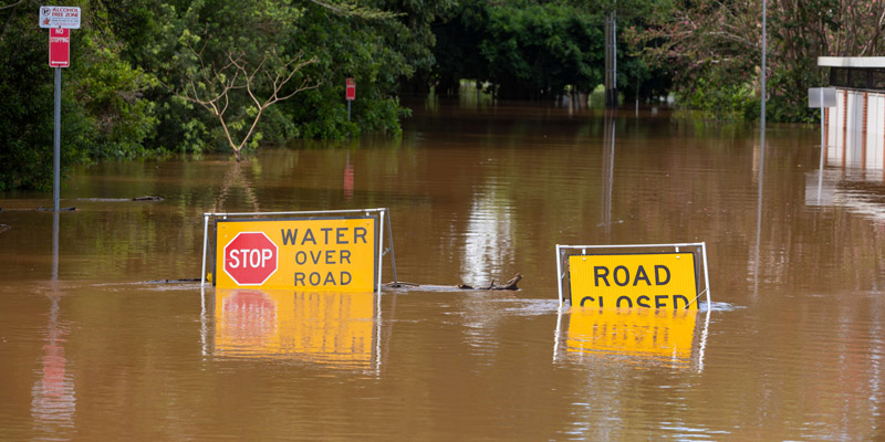
The Hawkesbury-Nepean Valley embraces a large area north of Sydney and is considered to have the highest flood exposure in the state. Contributing factors are its unique landscape and a large and growing population that comprises many culturally and linguistically diverse groups.
Floods are a natural part of the Australian landscape, but the risk to human life and property increases with ongoing development and population growth. It is vital to address these issues particularly with future potential exacerbation due to climate change.
The Hawkesbury-Nepean Valley Flood Risk Management Strategy acknowledges that safety, economic and social risks must be considered when looking at ways to reduce the impacts of flooding. Years of investigation with input from 10 local councils across the valley, business and the community has gone into developing the strategy and implementing the first stage.
Holly Langler from Infrastructure NSW is the Director of Engagement and Behaviour Change strategy said they have aligned the programs to the State Emergency Management Plan and the National Strategy for Disaster Management. This will help ensure maximum speed and efficiency along with close communication across State authorities. It is also designed to improve the current, rather fragmented approach to managing flood risk.
Issues such as addressing low community awareness about potential flooding are also being addressed. This is particularly important in a growing area with new residents who may not have had previous experience with Hawkesbury floods. Potential exacerbation of flooding and its impacts due to climate change is still being understood.
-Holy Langler, Infrastructure NSW
It has been acknowledged that climate change has disrupted rainfall in the Pacific region. There are more incidents of prolonged drought and major flooding through the naturally occurring El Nino and La Nina cycles of rainfall.
These impacts are being considered as the strategy and its programs are rolled out.
There are several clear components to the strategy in its work towards regional and co-ordinated flood risk management against the challenges of co-ordinating multiple councils and state authorities.
Improved infrastructure is a key factor. The Department of Planning, Industry and Environment is addressing issues such as integrated land use and road development, as it is currently insufficient to safely evacuate residents who could potentially be impacted.
The strategy is also looking at potentially raising the wall at Warragamba Dam, to help hold back floodwaters. This is requiring detailed concept plans and an Environmental Impact Statement.
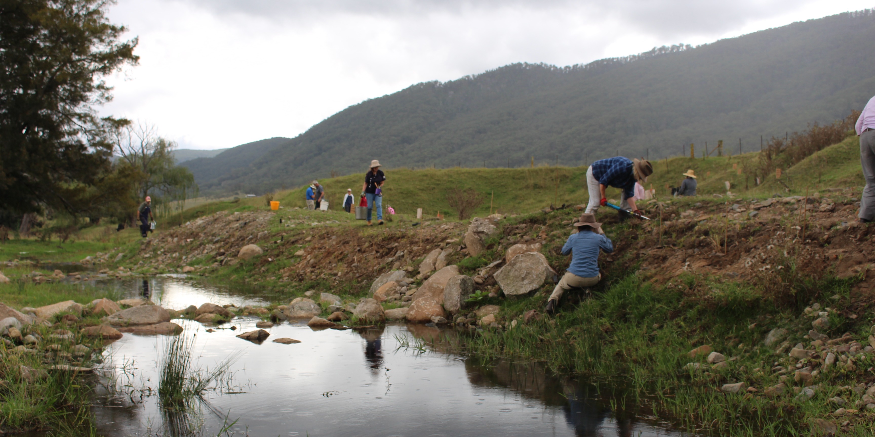
There is also significant work underway on channels to communicate contemporary and up to date flood information. An aware and responsive community will be more open to receiving this information. This will start through school education and will continue through channels such as social media, community and partnership programs and improved signage.
The strategy is also investing in better forecasting tools for rainfall and flood, comprising timing, behaviour and height of floods. Effective communication of data will help the community respond to alerts and warnings.
This will underpin greater working relationships between emergency response and recovery agencies across the floodplain.
The NSW Government acknowledges that ongoing monitoring, evaluation, reviews and improvements will be essential to reduce risk to life, property and social amenities from floods in this region, particularly in the light of climate change. It is an ongoing program with ongoing adjustment as we learn more and face upcoming challenges.
This project was proudly funded by the NSW Government with support from Local Government NSW.
Case studies

Santos Organics is redefining what a retail food business can be. As a not-for-profit organic food retailer, community hub and incubator for First Nations enterprises, Santos Organics strengthens local food security, supports local food producers, and activates rapid, community-led resilience during climate shocks.

In 2018, the Resilient Sydney Strategy was released to provide a pathway for resilience across the metropolitan area, including Penrith. It provides a framework for Penrith City Council to develop its own localised action plan, using local information.