View by
Event date:
26 Jun 2024
Event date:
26 Jun 2024
Discover all the great content created at the AdaptNSW Forums across the years.
Past event
Published on:
30 Apr 2024
Published on:
30 Apr 2024
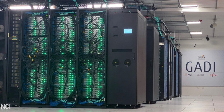
NARCliM2.0 will provide the most comprehensive set of NSW climate projections yet.
Published on:
20 Dec 2023
Published on:
20 Dec 2023
The NSW Department of Planning and Environment is joining NCI as a Major Collaborator
Climate modelling
Climate change causes
Event date:
04 Dec 2023
Event date:
04 Dec 2023
In 2023, AdaptNSW hosted an immersive 2-day adaptation event in Sydney.

Past event
Event date:
07 Nov 2023
Event date:
07 Nov 2023
AdaptNSW are at Purpose Conference. From November 8-9.
Past event
Published on:
06 Nov 2023
Published on:
06 Nov 2023
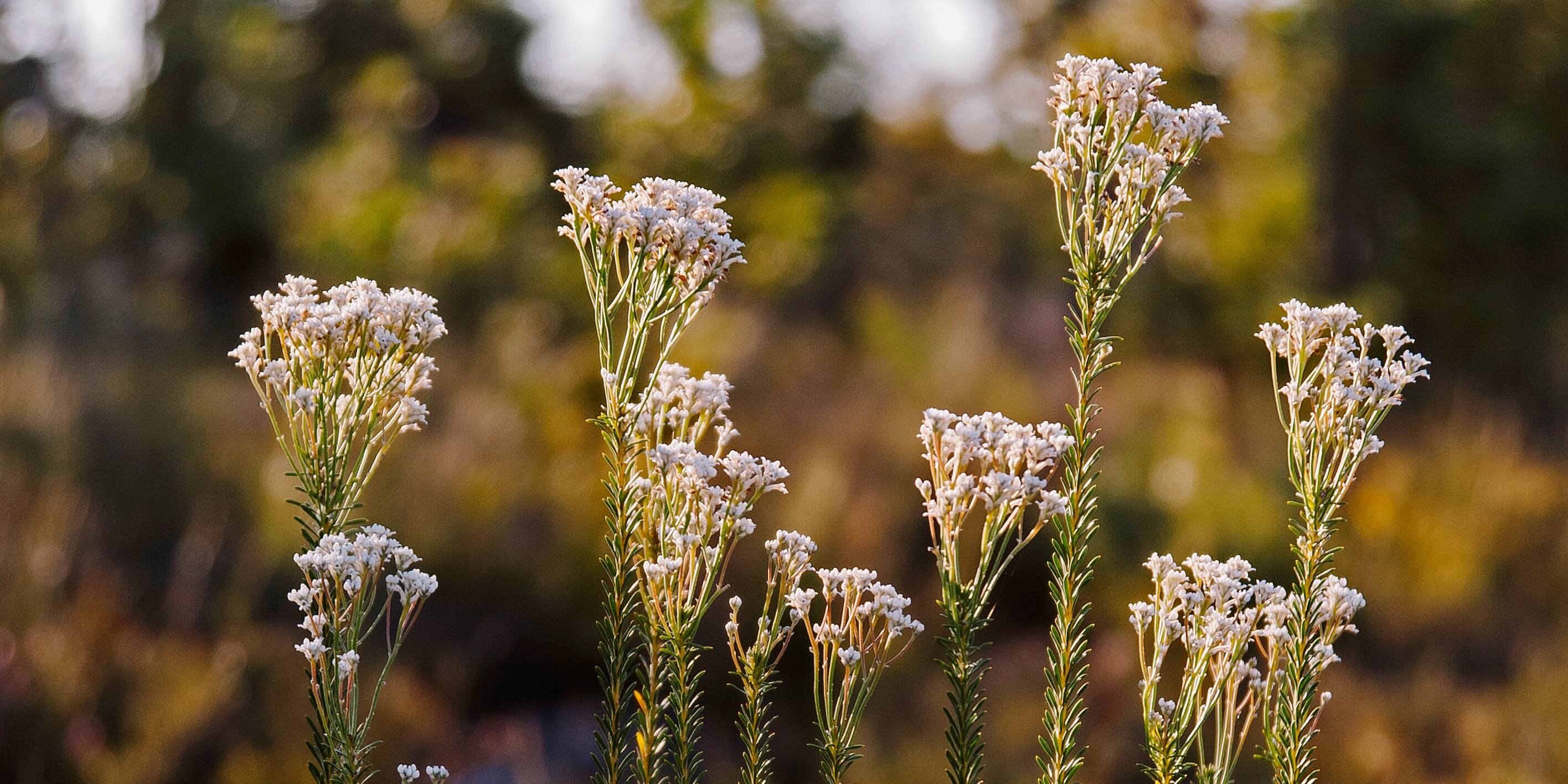
Listening to the voices of First Nations people can help us learn to live through climate change.
Aboriginal cultural values
NSW/ Statewide
Flood
Communities
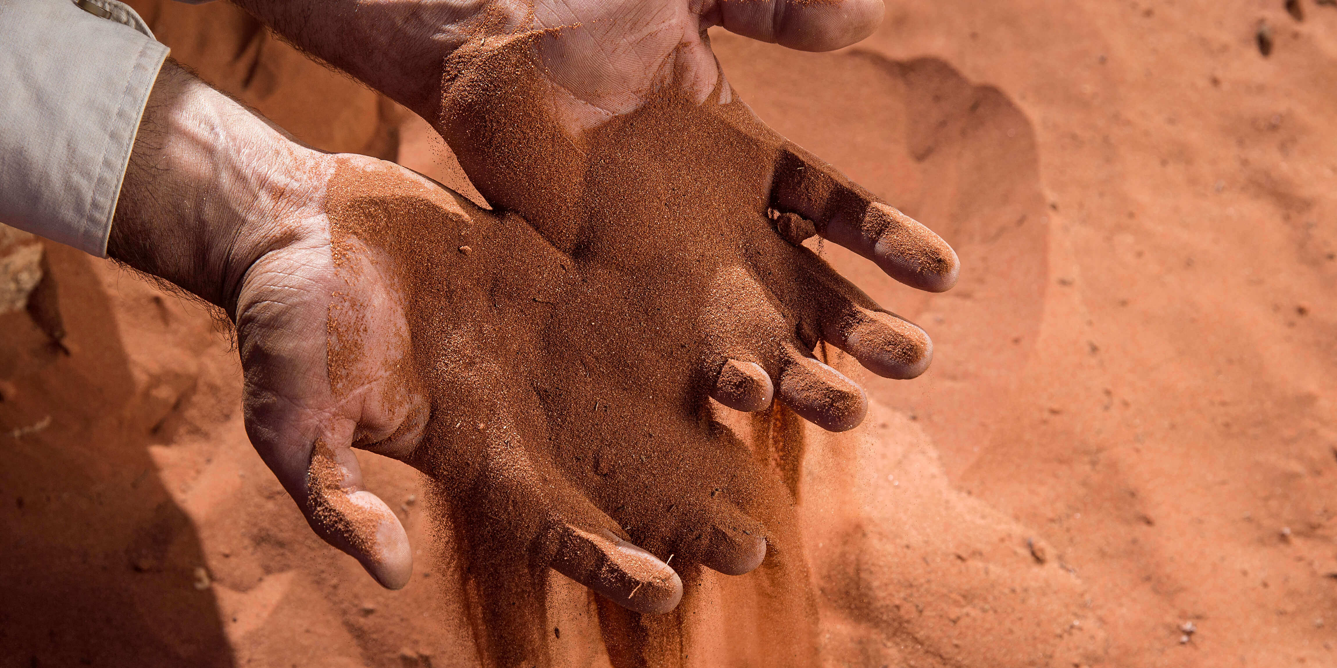
Drought
Published on:
06 Nov 2023
Published on:
06 Nov 2023
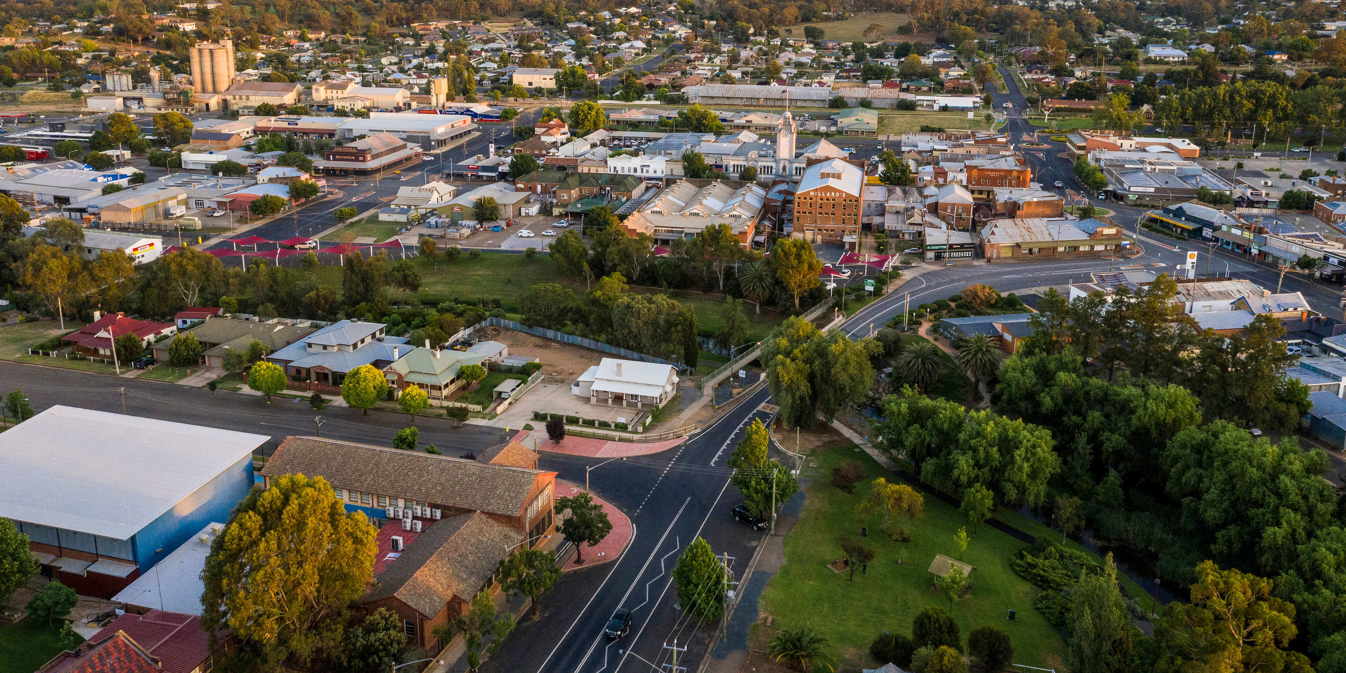
The argument about ‘why’ we must adapt our communities to climate change has been settled. The big question now is how will we do it and who will pay?
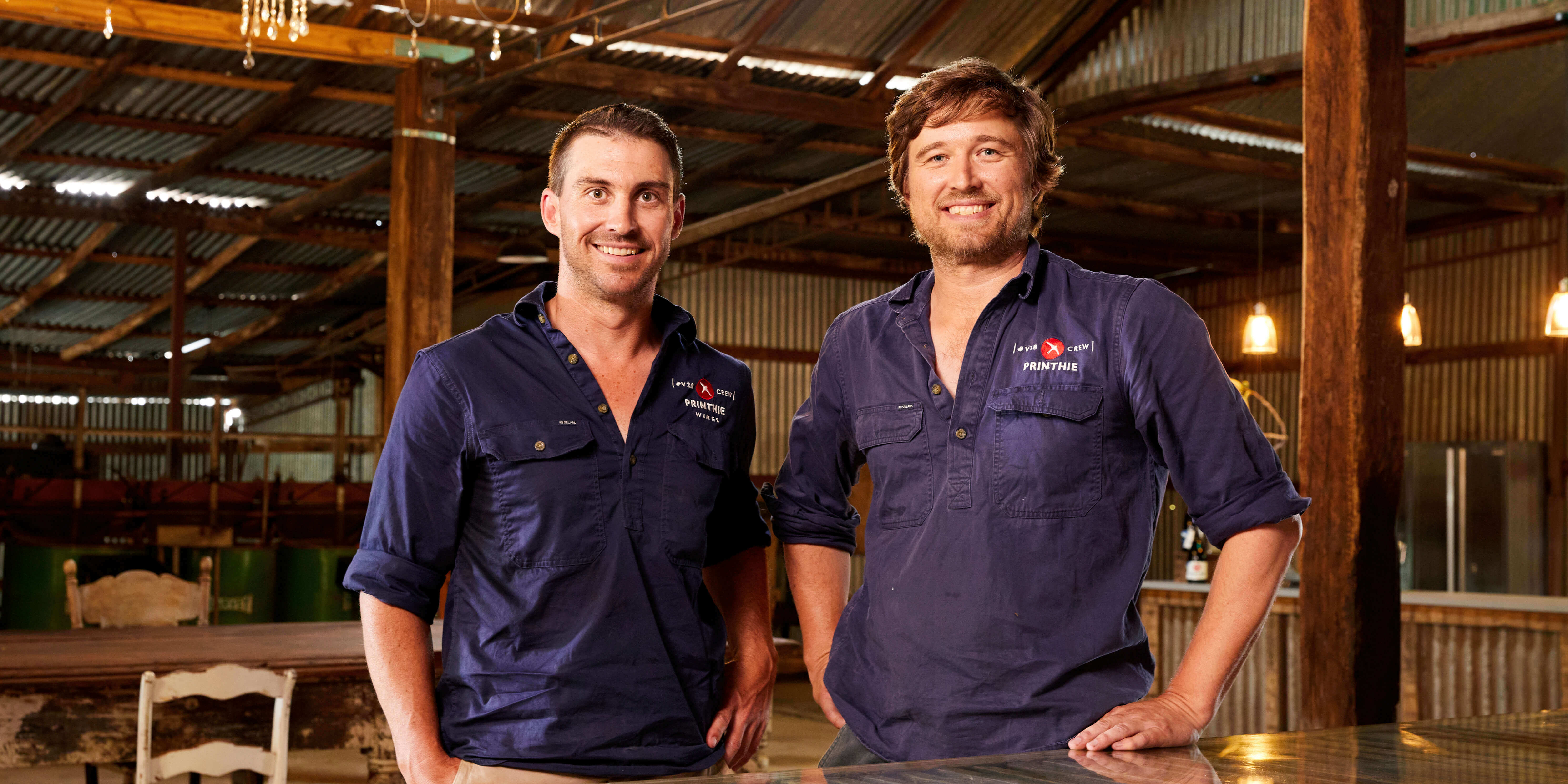
Economy
NSW/ Statewide
Business
Global
Published on:
06 Nov 2023
Published on:
06 Nov 2023
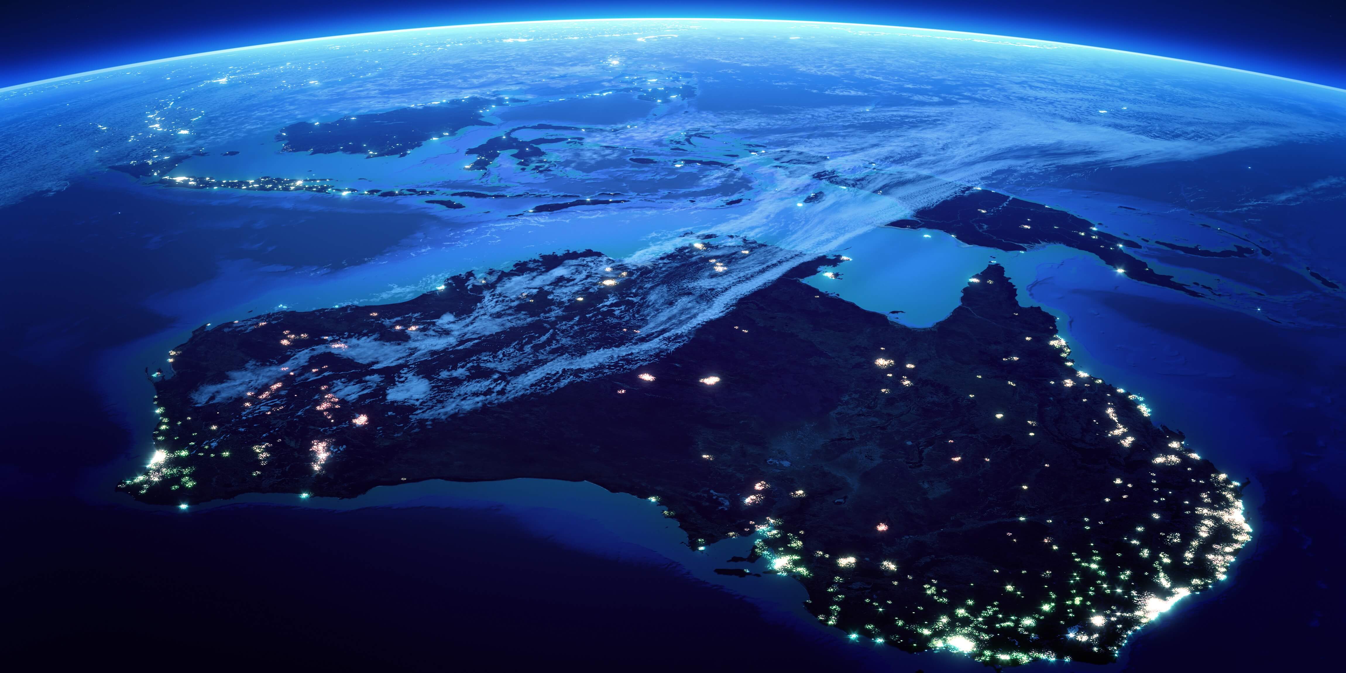
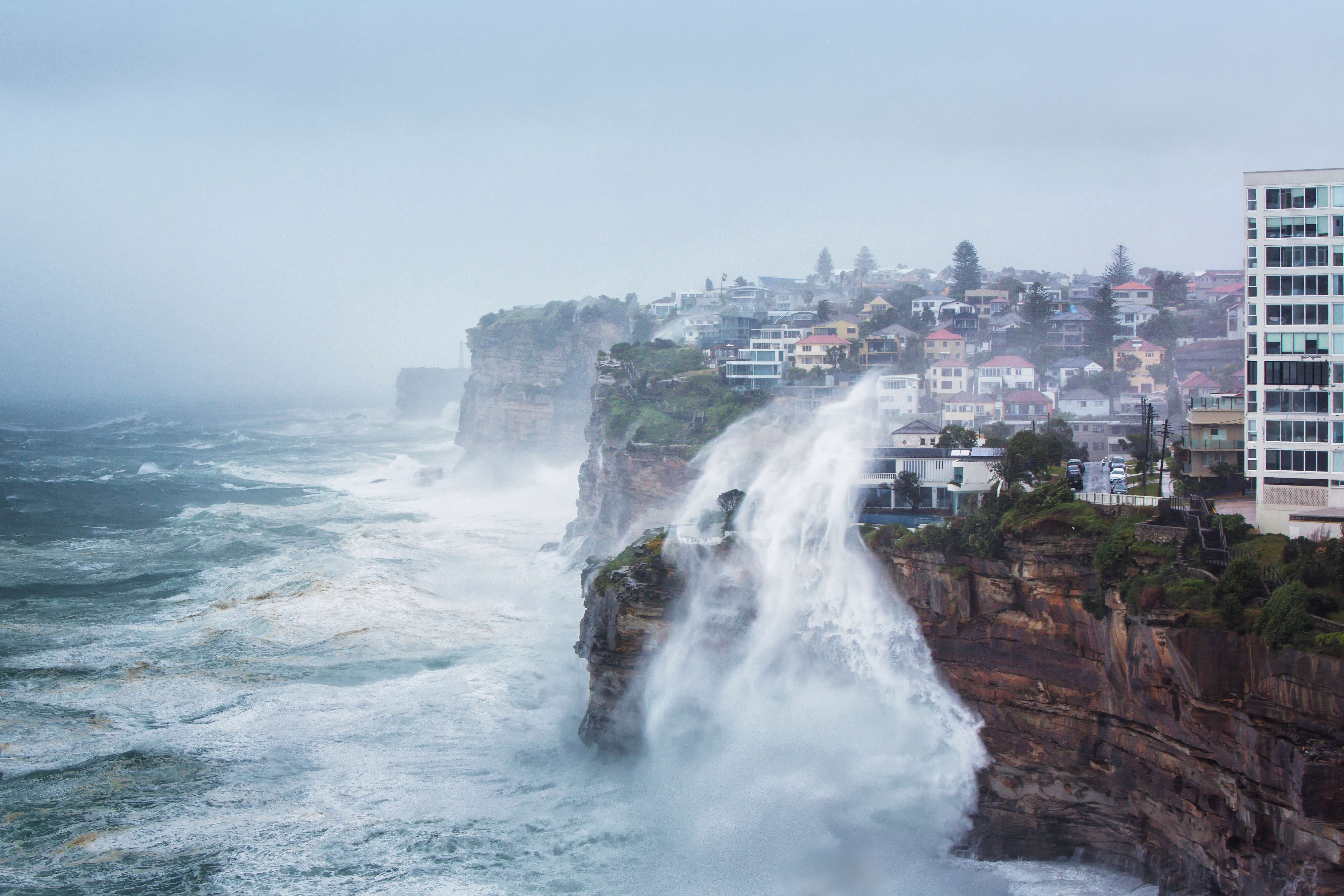
As Australia’s climate changes, we must consider how separate risks may converge to create compound events.
Climate change causes
Business
Australia
Published on:
06 Nov 2023
Published on:
06 Nov 2023
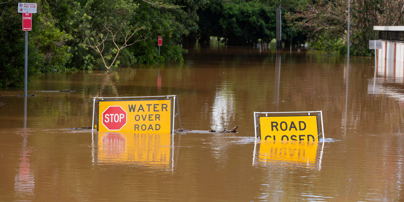
The affordability and accessibility of insurance is expected to become harder as our climate changes, and the impacts will not be shared equally.
Built environment
Households
Australia
Flood