Restore and Renew webtool FAQs and glossary
Frequently asked questions and glossary for the Restore and Renew webtool.
Climate Data Portal
Landing page for the NSW Climate Data Portal web content, aimed at users of all levels of data maturity. The only access point to the Portal application. Explains what the Portal can be used for and who it should be used by.

Future Leaders Forum 2025
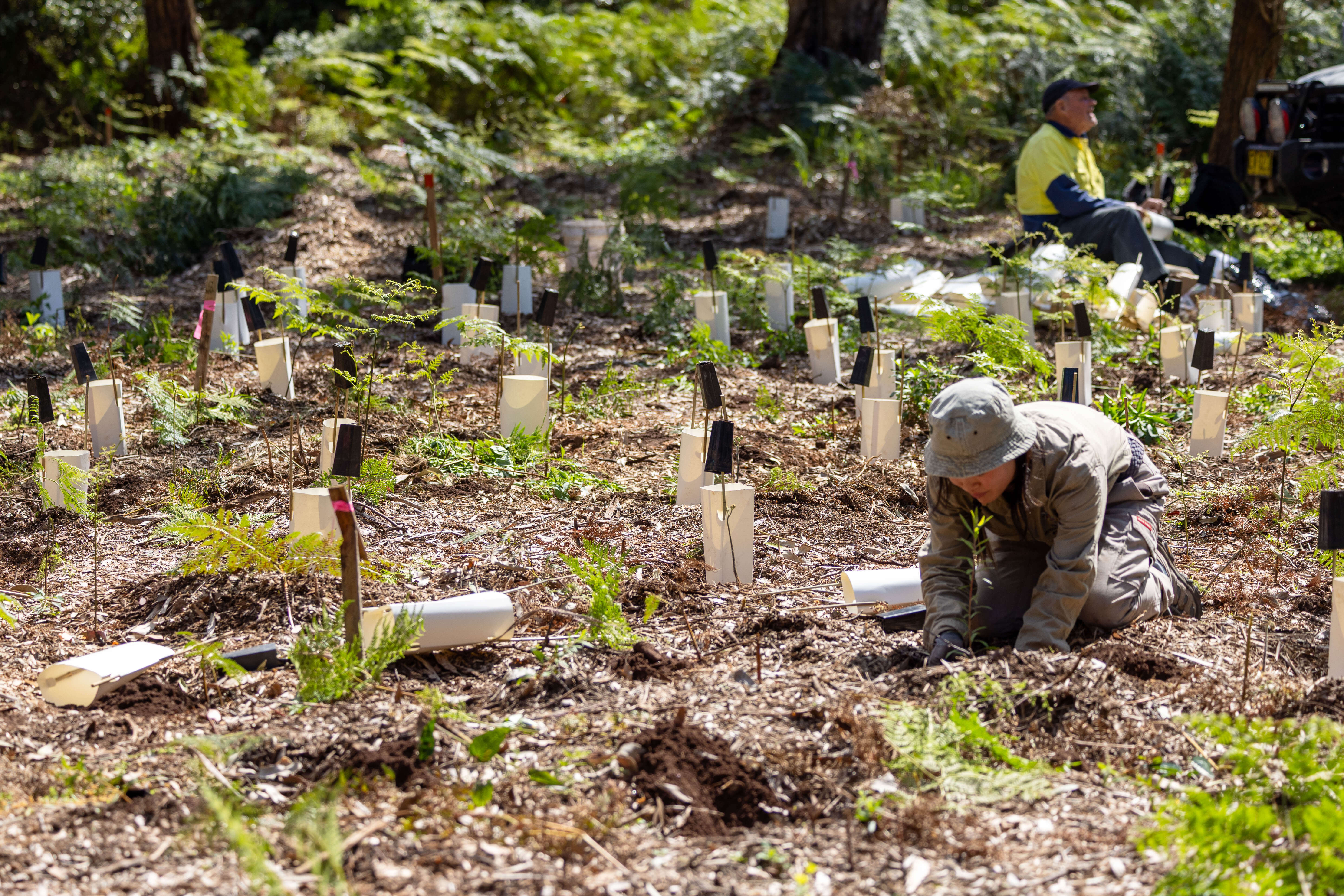
High school students from across Western Sydney and the Central Coast gathered at Powerhouse Castle Hill for the Future Leaders Forum to explore climate leadership. Presented in collaboration with the NSW Department of Climate Change, Energy, the Environment and Water, the forum brought together students to connect and voice new perspectives on climate change and its impacts.

Climate Action Week Sydney 2025
The NSW Government hosts three events for Climate Action Week Sydney in March 2025

Engagement in national climate initiatives
As a key partner in a number of national initiatives, the NSW Government supports a strong climate science community of practice among the states and territories, universities and with federal bodies such as the Bureau of Meteorology and CSIRO.

Greater heat resilience for Greater Sydney
Climate change is driving more frequent and intense heatwaves in NSW, posing risks to health, infrastructure, and the environment. The Greater Sydney Heat Smart City Plan aims to enhance heat resilience through collaborative efforts and adaptive strategies, ensuring a safer, cooler future for Sydney.

AdaptNSW Forum 2024
AdaptNSW Forum 2024 was held 29 - 30 Oct 2024 at Roundhouse, UNSW

NSW Climate Change Adaptation Action Plan 2025-2029
The NSW Government is acting now to adapt to climate change. Acting now will help reduce climate change impacts and risks, help protect what we value and create the knowledge, skills, resources and processes needed for further adaptation.

NSW Climate Change Adaptation Action Plan 2025-2029 released
The NSW Government has released the state’s first adaptation action plan. This whole-of-government plan focuses on addressing known climate change impacts and risks, enabling adaptation to prevent avoidable loss and damage, and building the foundation for future action.
NSW Government action on climate change
The NSW Government is responding to climate change by helping businesses, households, communities and councils to adapt to climate change and reduce emissions.