Summary of research
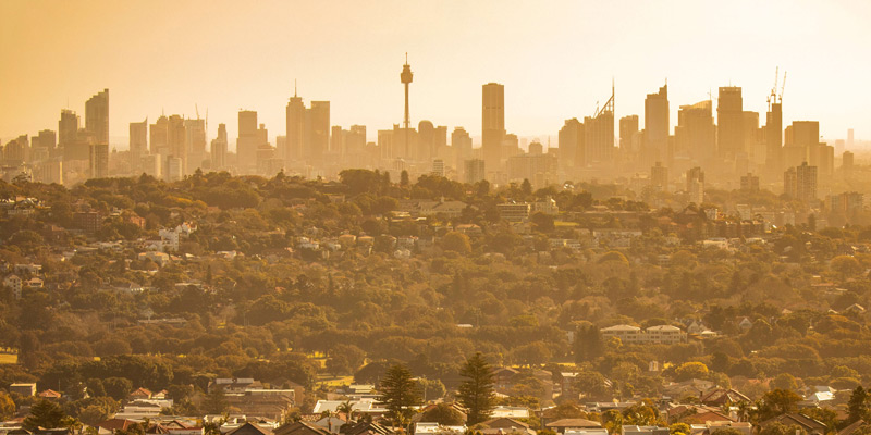
Urban heat and land use changes have big impacts on urban and city climates, where there is less green cover and more hard surfaces which absorb, store and radiate heat. This research was published by the NSW Government in 2015, and provides information about how climate change is expected to impact heatwaves across NSW and urban heat in areas such as Sydney. These reports and data can help decision makers and planners make better informed decisions to help NSW and its urban areas adapt to the increased heat impacts of climate change.
Reports
Maps, datasets and technical notes
Sydney GMA Urban Temperature maps 2036 (ZIP) - 40 maps of the Sydney region showing the projected 3 hourly changes in temperature due to land use changes from 2006 to 2036.
Sydney GMA Urban Temperature map data 203 (ZIP) - Script files (ASC) for the projected 3 hourly changes in temperature due to land use changes from 2006 to 2036.
Impacts of Land use Change on Sydney’s Future Temperatures (PDF) - An outline of a study to determine climate projections for Sydney based on land use changes.
Related research
- Green cover and climate change research
- Towards a Resilient Sydney (TARS)
- Regional climate change snapshots
- Climate Risk Ready NSW Guide
- Enabling Regional Adaptation reports
- Technical Note 5, Heatwaves affecting NSW and the ACT: recent trends, future projections and associated impacts on human health