The NSW Coastal Erosion and Inundation Assessment 2025 is the best available whole-of-state information on coastal hazards.
The Assessment uses the latest scientific research and sea-level projections from the Intergovernmental Panel on Climate Change (IPCC) Sixth Assessment Report to assess 3 key coastal hazards along the NSW coastline.
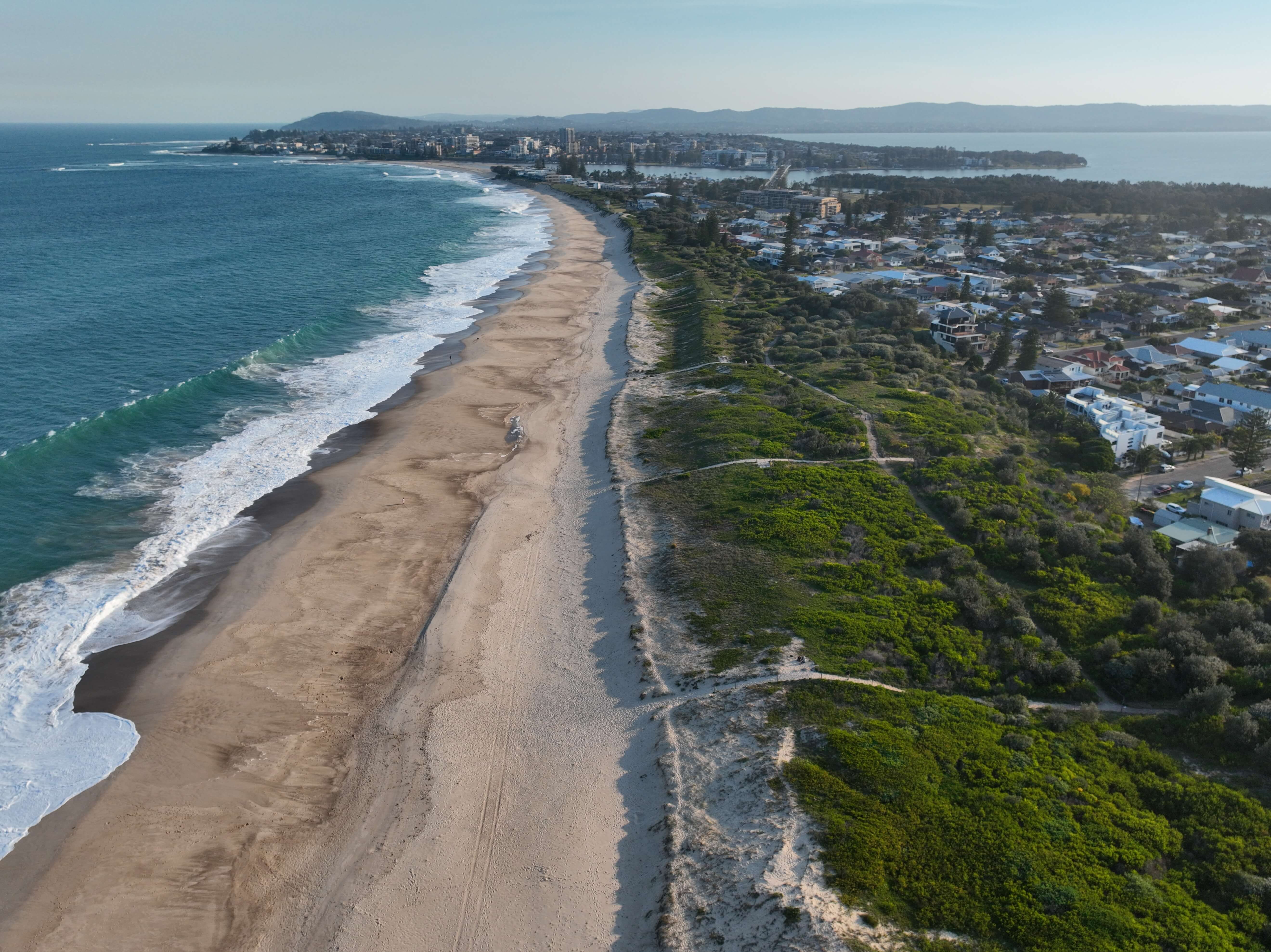
Coastal hazards
Coastal erosion refers to the temporary or permanent loss of land along the shoreline due to processes such as wave action, tides, wind, currents, gravity-driven downslope movement of sediment, and sea-level rise.
Coastal overwash occurs when the combined effects of tides, storm surge, wave runup and sea-level rise elevate coastal water levels above the height of backbeach features such as dunes, seawalls, berms or entrance barriers, resulting in the landward movement of water.
Estuarine inundation occurs when water levels within an estuary rise and overflow onto adjacent low-lying land due to the combined influence of tides and other hydrodynamic processes, and could be exacerbated by sea-level rise.
Watch: Understanding coastal hazards
Discover how the NSW Government’s latest coastal hazards information is helping communities plan for a safer, more resilient coastline. Hear from the scientists behind the research and the people putting it into action across NSW.
About the Assessment
The NSW coastal erosion and inundation exposure assessment: Technical report 2025 is based on extensive coastal research and data collected locally. It delivers consistent, robust information to support sustainable coastal management now and into the future. The Assessment is an update following the previous reports published in 2017 and 2018.
The datasets from the Assessment help underpin coordinated, strategic action. They support councils and planners to identify vulnerable assets, assess future exposure and design targeted responses, enabling clear communication with communities about risks and management steps.
What information is available?
The Assessment provides information on:
- A range of Shared Socioeconomic Pathways (SSPs), from low (SSP1-2.6) to very high (SSP5-8.5) emissions scenarios, projected from a 2020 baseline to 2150 in ten-year intervals.
- Current and projected extents of coastal erosion and estuarine inundation along the coast of NSW, together with locations susceptible to coastal overwash under all considered emissions scenarios and timeframes.
- Current and projected exposure of built assets and cultural heritage to coastal erosion and estuarine inundation.
Councils seeking additional information and guidance on managing the NSW coast or developing coastal management programs can explore the coastal management toolkit.
NSW coastal erosion and inundation exposure assessment: Technical report 2025 NSW coastal erosion and inundation exposure assessment: Technical report 2025
Access the latest state-wide coastal hazard assessment for NSW, under projected sea-level rise.


Projections based on best practice science
The Assessment is based on the latest sea-level rise projections from the Intergovernmental Panel on Climate Change Sixth Assessment Report (2021). It is also built upon high-resolution seabed mapping, marine LiDAR and a comprehensive network of tide and water-level gauges. These scientific advancements allow for consistent hazard mapping across NSW, to complement and enhance existing local assessments and enable direct risk comparison across regions.
Assessing each hazard required tailored methods:
- Coastal erosion was modelled using a sediment volume-based response framework that simulates storm-driven erosion, beach fluctuations, sediment budget imbalances and the effects of sea-level rise.
- Coastal overwash was modelled along the NSW sandy coastline using high-resolution LiDAR-derived backbeach elevations to assess the likelihood of overwash driven by the combined effects of tide, storm surge, wave runup and future sea-level rise.
- Estuarine inundation was assessed using tide gauge data to model water level surfaces, combined with projections of sea-level rise, across all 184 recognised estuaries statewide.
For more detail on the methods used in the Assessment, please refer to the technical report.
Coastal hazards snapshots
Discover the latest key findings for each coastal hazard under sea-level rise in these snapshots.


Developed in 2017 and 2018, these reports were created using sea-level projections informed by the IPCC Fifth Assessment Report (2013) and fixed sea-level rise scenarios of 50 cm, 100 cm and 150 cm. These reports were replaced by the 2025 NSW Coastal Erosion and Inundation Assessment and coastal hazard snapshots, which use the latest sea-level rise projections from the IPCC Sixth Assessment Report (2022) and the NASA Sea Level Projection Tool.
Coastal Erosion in New South Wales: Statewide Exposure Assessment (PDF 8.5MB) – published 2017, a statewide assessment of exposure to coastal erosion in NSW.
NSW Estuary Tidal Inundation Exposure Assessment (ZIP 9.2MB) – published 2018, an assessment of exposure to current development from inundation associated with sea level rise scenarios (full report and appendixes).