NARCliM2.0 will provide the most comprehensive set of NSW climate projections yet
To understand and plan for the likely impacts of climate change, we need trusted data and tools. For over a decade, the NSW and Australian Regional Climate Modelling (NARCliM) project has provided robust climate change projections to support government, business and communities to mitigate and adapt to climate change.
Now, a new generation of NARCliM data is on the way, with more detailed projections based on world-leading climate science. This new generation, known as NARCliM2.0, will offer 150 years of continuous climate-modelled data, including historical data and future projections, spanning from 1951 to 2100. NARCliM2.0 has adopted the latest global greenhouse gas emissions scenarios from the Intergovernmental Panel on Climate Change (IPCC) Sixth Assessment Report, including low (SSP1-2.6) and high (SSP3-7.0) emission scenarios. Data for a third emissions scenario (SSP2-4.5) will be available in 2025.
NARCliM2.0 provides a higher resolution than the 2 previous generations (NARCliM1.0 and NARCliM1.5). For south-eastern Australia, the new data will be at 4km grid cell resolution, which is a major improvement on the 10km resolution offered by NARCliM1.0 and 1.5. This improved granularity means that data can better inform decision-making and planning at local and regional planning levels, such as climate risk assessments for individual suburbs or planning zones.
Climate data for different users
NARCliM2.0 datasets will be available through the NSW Climate Data Portal for advanced users to perform their own analyses. For users who require summarised climate information, the interactive climate change projections map and AdaptNSW regional snapshots will be updated based on the new NARCliM2.0 data. These plain-language snapshots will detail NARCliM2.0 projections for the ACT, NSW, and 10 NSW regions for the emissions scenarios and will cover:
- annual average temperatures
- annual average rainfall
- hot days over 35° C
- cold nights under 2° C
- severe fire danger days
The revised information on AdaptNSW will also capture projected sea level rise. This is not derived from NARCliM, but from data used in the IPCC Sixth Assessment Report released in 2021.
Soon, we’ll also be releasing more information and resources to support NARCliM users to integrate the data into their work.
Developing NARCliM2.0
To develop the next generation of NARCliM data, our climate scientists have drawn on the latest available science used in the IPCC Sixth Assessment Report.
NARCliM2.0 uses advanced regional climate modelling techniques, and global climate models and emissions scenarios from the latest Coupled Model Intercomparison Project Phase 6 (CMIP6), including:
- a low-emissions scenario aligned with the Paris Agreement targets (SSP1-2.6)
- a higher-emissions scenario (SSP3-7.0)
- a third scenario (SSP2-4.5) currently being modelled and will be available in 2025.
The development of NARCliM2.0 represents the most computationally intensive generation of NARCliM to date. NARCliM2.0 data have been through almost 3 years of processing thanks to a collaboration with Canberra’s National Computational Infrastructure, one of the Southern Hemisphere’s most powerful supercomputers. Now, our scientists are analysing the data to prepare them for public release.
Sign up to be notified
Be the first to know when NARCliM2.0 is available. Take our short survey and sign up to be notified as soon as the data is released.
Learn more about NARCliM
Read more about how local councils, climate practitioners, government and research organisations use NARCliM data to study, plan for and adapt to climate change.
Case studies

The importance of the land to wellbeing cannot be understated, which is why strategies to combat and manage the impacts of climate change are crucial. Aboriginal people have been using generational knowledge of land and sea management in response to changing climates over thousands of years.
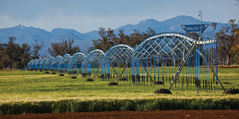
Learn how NARCliM climate projections are being used by various NSW sectors to understand and adapt to climate change.
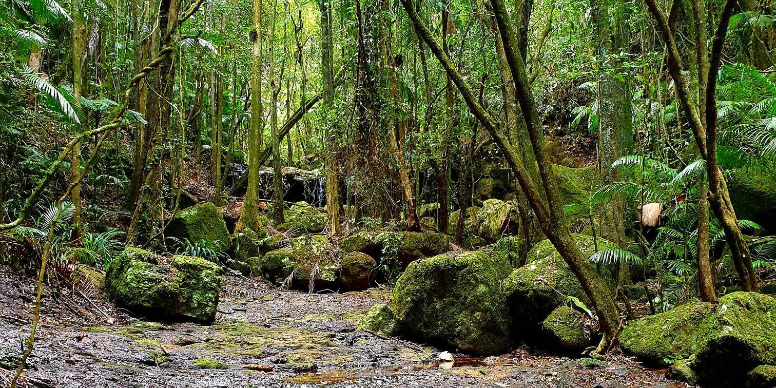
The NSW Government has created the first holistic adaptation plan to protect a World Heritage rainforest from climate change impacts – and now ground-breaking genetic science is giving some rare and threatened species a helping hand to adapt and evolve.